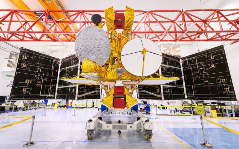
Early Friday morning, NASA and its international partners plan to launch the Surface Water and Ocean Topography (SWOT) satellite from the Vandenberg Space Force Base in California. This joint mission is shared with the French, Canadian, and United Kingdom’s space agencies. This will survey about 90 percent of the water on Earth—almost everything except the poles—using cloud-penetrating radar in order to create high-resolution maps of oceans, rivers, reservoirs, and lakes.
“The key advance for SWOT is that we’ll be able to simultaneously measure the extent and height of water. Adding that new dimension is critical because it allows us to think about things in terms of changes in volume over time,” said Tamlin Pavelsky, a researcher from University of North Carolina and the SWOT team’s hydrology science lead, at a press conference earlier this week.
SWOT will be able to analyse lakes larger than 15 acres (or about 820 feet by 820 feet) and rivers wider than 330 feet across, Pavelsky said. That means it will survey millions of lakes and track some 1.3 million miles of rivers, many of them lacking on-the-ground data because they are not easily accessible by land. This data will come in handy for a range of applications


